Brief description of fishery:
Fishing is dawn to dusk only – Fishing times
The statutory coarse fish closed season applies to the River Trent (No fishing is allowed between March 15th – June 15th Inclusive)
There are now 8 (yes eight) bailiffs covering our Trent waters in the Newark area, paying special attention to Ladypitt. These men will take no fuss and a zero tolerance policy will be enforced. You must carry proof of membership (either the Clubmate app on your phone or your membership slip) AND your National rod licence at all times. Failure to produce either on the spot will result in you being evicted. No Arguments. The team of bailiffs will work closely with the farm manager and they will work a rota system so you will at least see one (or they will see you) while you are there. The bailiffs will scrutinise our venues 24 hours a day and anyone found there fishing illegally will be dealt with appropriately.
We have access to the full length of the club stretch including the Meadow stretch. Please drive slowly to avoid causing any problems.
Keepnets may not be used by anglers fishing below the weir.
No dogs are allowed on Ladypitt, landowner’s rules.
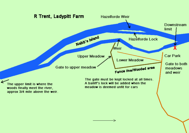
This fishery is actually two separate (but adjacent) stretches which are like chalk and cheese. The stretches are on the east bank of this much improving river where the central island, known as Nabb’s Island, divides the river in two. It is located at Syerston, just south of East Stoke and yet is an easy one hour’s drive from Scunthorpe.
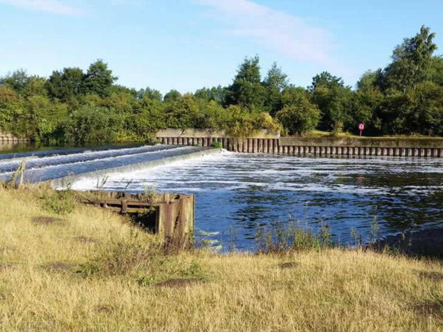
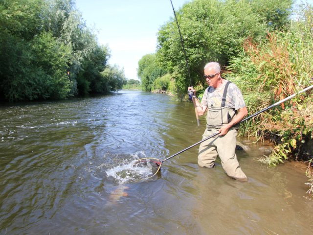
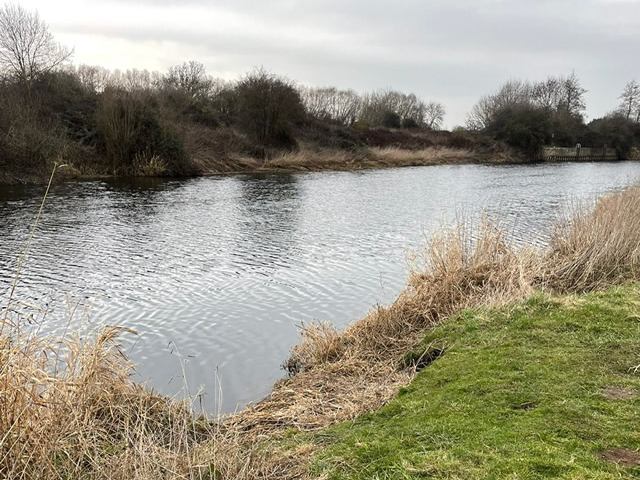
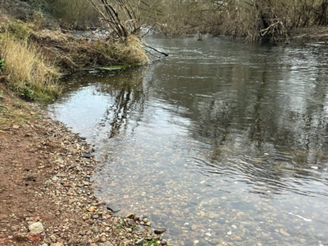
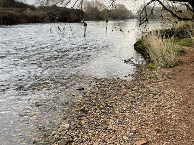
The stretch includes a weir and weir pool. Below the weir the river runs fast and shallow over gravel beds and, as you would expect, contains a good head of summer and autumn barbel, chub and roach. Above the weir the river runs slow and deep and contains roach and bream to magnificent proportions.
Address – Fosse Road, Syerston, Newark,
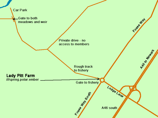
what3words ///spring.polar.ember – SAA gate to fishery
Access
Please drive slowly to avoid causing any problems.
PLEASE remember there is strictly NO night fishing, dawn to dusk only.
This fishery is actually two separate but adjacent stretches which are like chalk and cheese. The stretches are on the East bank of this much improving river where the central island known as Nabb’s Island divides the river in half. It is located at Syerston just south of East Stoke and yet is an easy one hour’s drive from Scunthorpe.
The stretch includes a weir and weir pool. Below the weir the river runs fast and shallow over gravel beds and, as you would expect, contains a good head of summer and autumn barbel, chub and roach. Above the weir the river runs slow and deep and contains roach and bream to magnificent proportions.
Directions
To reach this stretch from Scunthorpe you need to head south past Newark, via either the A1 or the more usual route directly through Gainsborough on the A156, turning right at Torksey onto the A1133. When that road meets the A57 you turn right then immediately left again, carrying straight on onto the A1133. At Langford you turn right onto the A46. From Newark you will pass through Farndon and then East Stoke.
Once clear of East Stoke you will see a road to the left, signposted for Elston and Shelton. At that junction there is a large Mansion House known as Eden Hall (Sat’ Nav location). Directly opposite that left turn is a lay-by with a bus stop. The entrance to our stretch is in that lay-by. Another alternative is to follow the a46 past Newark and carry on south until you see an exit sign for a slip road for East Stoke or Syerston. Turn right at the top of the slip road and head towards East Stoke/Syerston, past Eden Hall on your left until you reach a small roundabout.
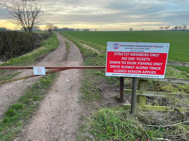
Our gated access to Ladypitt is on the other side of the roundabout. Drive down the lane (it can be a little bumpy and muddy so beware!) to the river. The lane is secured with a chained gate and combination padlock. Please leave the gate secure after entering or leaving the fishery and please remember to tumble the combination.
At the bottom of the lane there is a small car park and to the right, downstream, there are about five pegs. To the left, upstream, is a gate, which will be locked with one of our own combination locks. You can drive through the gate into the meadow and, weather permitting, drive along the full length of our stretch. A further gate beyond the weir affords access to the upper meadow.
Be warned, if the ground is wet and you choose to drive into the meadow you could get bogged down!! Please note: Anglers driving from distance to this venue wishing to fish the upper meadow may find the gate locked due to wet conditions, This decision is made at the discretion of the fishery manager, It is his decision based on the grounds condition after flood, at the beginning of the season before the hay has been harvested or during the winter months when the ground may stay wet, Please be aware of this and be prepared for the access to be by foot only during such conditions.
The stretch is well signed with the club’s usual signage.
Please close and lock all gates and tumble combinations after driving through them. If you leave the gates unlocked you are very likely to be joined by non-members, fly tippers, travellers, poachers, etc. If you let them in, you get rid of them!! There are also sheep likely to be in the meadows. Even if you can’t see any they may still be there, our stretch is a good mile and a half long and you cannot see from one end to the other.
There is NO ACCESS to river at our stretch here during close season FULL STOP. The club always put extra locks on to keep everyone out & ALL Members and non-members must stay away during the EA closed season but also avoid going there while the lambing is in progress.
Species
- Barbel
- Bream
- Chub
- Roach
